After days of settled, freezing weather that brought record morning frosts to communities across the country, New Zealand is heading into a markedly different weekend. A dominant high-pressure system has kept skies clear and temperatures sharp, but that stillness is about to be interrupted. From late Saturday, a broad trough sweeping in from the Tasman Sea will push through the country, bringing rain, strengthening winds, and a welcome lift in overnight temperatures.
MetService meteorologist Devlin Lynden has flagged the incoming change:
“We can enjoy the clear days for a little bit longer. But that ridge is on the move, and we’ll start to feel the effects as early as Saturday in the south.”
The transition is expected to be well established by Monday, with much of the country facing rain and strengthening northerlies. Northland, the West Coast, and Tasman District are the areas most likely to see heavy falls, and watches or warnings could be in place by early next week.
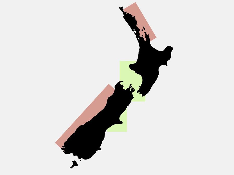
For those with weekend boating plans, the upper South Island is the standout destination right now. The Marlborough Sounds, Cook Strait inlets, and the Nelson and Tasman coastlines are holding onto fine, calm conditions for longer than almost anywhere else in the country. Swell is manageable, visibility is clear, and the winds are light enough to make for genuinely pleasant time on the water.
Around Wellington, Mana, and Kapiti, the weekend looks calm with smooth seas and gentle northerlies. Christchurch can expect light winds and mostly fine skies through Saturday and Sunday, while the Marlborough and Nelson regions are likely to stay dry right through until late Monday. These areas offer the tail end of the midwinter quiet, well suited to a motor cruise, a relaxed sail, or a trip into the Sounds before the change rolls through.
The picture is considerably less inviting further north and along the West Coast. Boaties heading to Northland or Fiordland should exercise real caution, as these areas will feel the trough's effects earliest and most forcefully.
In the Bay of Islands and around Bream Bay, northeast winds are set to build steadily from Saturday, reaching 25 knots by Monday, with swell climbing to 3 metres. The Hauraki Gulf and Coromandel Peninsula will see increasing chop, rising swell, and the first showers arriving by Sunday night. Along Fiordland and the West Coast, cloud and scattered rain are expected from Friday evening, with heavier and more persistent falls likely to continue through Monday. Gusty conditions, building seas, and reduced visibility in these areas will make for uncomfortable going at best, and genuinely hazardous conditions for smaller vessels.
Friday and Saturday offer the best window for getting out, particularly in sheltered eastern and central waters. From Sunday afternoon onwards, and especially heading into Monday, wind and sea conditions will deteriorate across the north and west. Keeping a close eye on updated marine forecasts and any watches or warnings issued over the coming days is strongly advised.