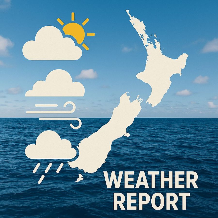
A sharp divide defines the weekend's weather story. Across the North Island, a stable ridge is keeping conditions calm and skies mostly clear from Northland all the way through to Wellington. The South Island tells a very different tale, particularly in the south, where a powerful system is pushing into Fiordland and Southland late today and continuing into tomorrow, bringing gale-force winds, heavy bursts of rain, and significant ocean swell.
[embed]https://images.boatingnz.online/wp-content/uploads/2025/12/06090111/Weekend-weather-report.mp4[/embed]
Come Monday, the front will have travelled as far as the upper South Island, though by then it will have shed much of its intensity after running up against the persistent ridge sheltering northern regions. Tuesday should see settled pressure reassert itself across most of the country, although a fresh weather push is already forming and expected to nudge into Fiordland later that same day.
The pattern is classic early summer for New Zealand. The north feels warm and settled while the far south continues absorbing pulses of energy tracking up from the Southern Ocean, carrying what feels like a hangover from winter.
Castlepoint
Northwest winds are coming in fairly strong today, with near-gale gusts early on before things gradually ease. Seas are running rough this morning but will improve through the afternoon. A long-period southwest swell is due to arrive later today, something smaller boats in particular will want to account for.
Sunday holds a northwesterly, but at much more comfortable levels around 25 knots, with further easing north of Cape Palliser as evening approaches. The swell is expected to drop away, which makes for good timing for anyone heading out early and returning late.
Puysegur Point
Puysegur Point is the clear weather hotspot this weekend. Winds are swinging from northerly into northwest and will reach 45 knots by early evening today, pushing seas into the high range with a four-metre westerly swell rolling through. Heavy rain arriving from this evening will also bring reduced visibility.
The northwest theme carries into Sunday, with winds hovering near 40 knots before easing after dark. Very rough seas and a heavy northwest swell will persist throughout. Venturing offshore anywhere in this area would be ill-advised.
Wellington
A steady northerly settles over Wellington for the weekend. Today opens with 25 knots gusting to 35 knots, followed by a brief lull in the afternoon before winds return to similar strength overnight. Seas ease momentarily before building again with the evening breeze.
Tomorrow shapes up more evenly, with northerlies around 25 knots and clearing skies. Swell remains low along the South Coast, while Castlepoint holds onto a leftover southwest metre early in the day.
Northland to Taranaki
The ridge delivers mostly fine conditions with light winds throughout this region. A few afternoon showers are possible north of Whangarei, but otherwise it is good weather for diving, fishing, and cruising close to shore.
Coromandel, Bay of Plenty, and the central high country
Fine conditions dominate here as well. Gisborne and Wairoa districts carry a chance of afternoon showers with possible thunder and hail, but seas stay moderate and winds remain gentle across the wider region.
West Coast, Buller to Fiordland
Cloud is building today, with rain spreading south from north of Hokitika. The heaviest falls are expected tonight and into tomorrow. Swell is climbing steadily from the west and could make for an uncomfortable ride for smaller craft.
Nelson, Marlborough and Canterbury
Fine weather with increasing high cloud. Isolated showers may develop inland this afternoon. Winds stay light into Sunday, though the next rain band is approaching and will make its presence felt from Monday.
Otago and Southland
Morning showers are clearing coastal areas before returning later in the day as the front draws closer. Sunday brings rain in the west and a stronger northwest flow across exposed stretches of water.
The broad pattern for the days ahead continues the same north-south split. The North Island holds onto its run of fine, early summer weather while the lower South Island braces for heavy rain and strong winds. Monday sees the rain band work its way up the West Coast before losing momentum as it pushes into Canterbury and Marlborough.
Tuesday should be the calmest day nationally, with the ridge back in control, though another front is expected to edge toward Fiordland late that afternoon. By Wednesday, that weaker front will be sliding northward up the South Island while the North Island remains largely undisturbed.
For boaties planning time on the water, northern regions offer some genuinely appealing early summer conditions this weekend. Those in the lower South Island, however, should expect several days of rugged weather to work through before things settle again toward the middle of next week.