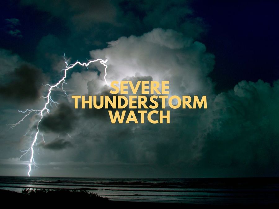
A severe thunderstorm watch is in place for parts of the upper North Island this afternoon and evening. MetService warns that a warm, moist air mass combined with daytime heating is expected to trigger heavy showers and thunderstorms across Northland, Auckland, the far south of the Coromandel Peninsula, the far west of the Bay of Plenty, and the northwest corner of Waikato.
The window of greatest concern runs from 3pm to 9pm, during which there is a moderate risk of severe thunderstorms producing localised downpours of 25 to 40mm per hour. Rainfall at that intensity can quickly trigger surface or flash flooding, particularly in low-lying areas such as streams, rivers, and narrow valleys. Slips are also possible.
For anyone heading home after a day on the water, road conditions could turn hazardous. Surface flooding and reduced visibility in heavy rain are real concerns, so take care at the boat ramp and on the drive home.
A severe thunderstorm watch means conditions are favourable for severe thunderstorm development in and near the affected areas. Residents should stay alert to changing weather, keep up with MetService updates, and check the Civil Defence Get Ready website for advice on storm safety and preparation.