With less than a fortnight until its 16 April start, the Three Kings Offshore Yacht Race is drawing close, and early forecasts paint a mixed picture. Conditions look manageable for the opening stages, but longer-range models suggest the race will grow progressively wilder as yachts push north beyond North Cape and into one of the most exposed stretches of water New Zealand sailors can reach.
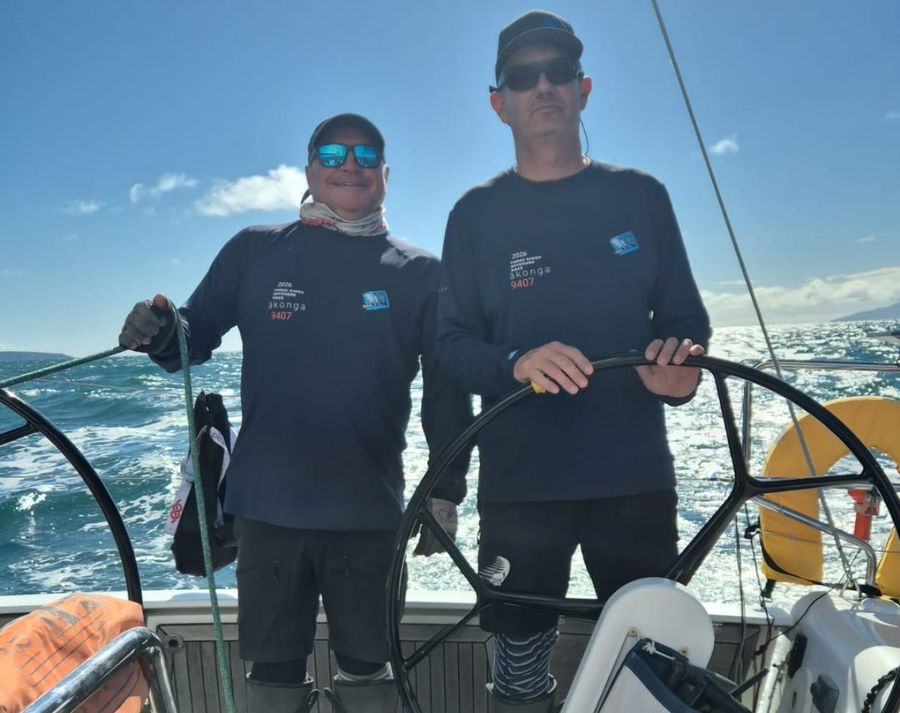
The 2026 Doyle Sails Round North Island Two Handed Yacht Race has already offered some indication of what awaits on that northern run. Spanning 1,200 nautical miles, it is the longest race held entirely within New Zealand this year. Its two-handed crews departed the Waitematā, headed up the coast to Mangōnui, then rounded Cape Reinga and turned down the west coast toward Cook Strait, tracing much of the same coastline the Three Kings fleet will follow north.
Where the courses diverge is at Surville Cliffs, New Zealand's northernmost mainland point. Instead of curving south around Cape Reinga as the Round North Island fleet does, Three Kings competitors continue northwest, striking out toward the Three Kings Islands themselves, into the body of water where the Tasman Sea and the Pacific Ocean meet. On a clear day from the Cape Reinga lighthouse, that convergence can sometimes be read on the surface, where contrasting colours, competing swells, and shifting textures mark the boundary between two oceans.
The passage to the islands and back involves two open-water crossings of roughly 90 kilometres each, well clear of any sheltering landmass and fully exposed to whatever the ocean is doing. For the majority of New Zealand-based sailors, this is genuinely unfamiliar territory. To get a clearer picture of what sailing these waters is actually like, we spoke with someone who has been through them repeatedly.
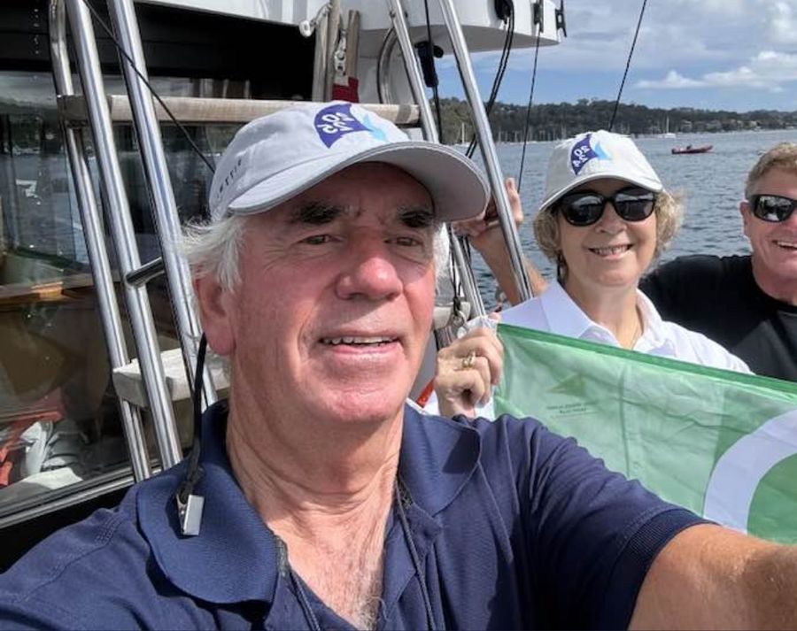
Robert McClelland, Commodore of the Royal Prince Alfred Yacht Club, has made multiple transits of this area on race passages and deliveries between Australia and New Zealand. His first experience of the Three Kings came more than fifty years ago, and it set an immediate precedent.
"My first real encounter with the Three Kings Islands was in January 1975 during the New Zealand Admiral's Cup trials. I was about twenty years old and crewing on Barnacle Bill. The trials themselves had been a frustrating series sailed mostly in very light conditions, and the fleet had effectively been waiting for a proper offshore test.
That came in the final race, a 560 nautical mile course from Auckland, out past Great Barrier Island, up to North Cape and the Three Kings, and back again.
We started that race in 35 to 45 knots and it built significantly through the night, with what was effectively a cyclone approaching New Zealand. By the time we were up around the Three Kings the wind was well over 60 knots. The seas were enormous and I can clearly remember being close to the islands and, in the troughs, not being able to see them at all. It was spectacular, exciting, and a very early lesson in how serious that part of the ocean can become."
That initiation was extreme by any measure, though the years that followed gave McClelland a broader understanding of the place.
"I did not return to that area for many years. The next time was in 2016, arriving into New Zealand from New Caledonia. Then again in 2017 heading north from New Zealand to New Caledonia. In 2019 I came across from Australia, and then again in 2023 and most recently in 2025 on Sydney to Auckland passages.
Those later trips gave a very different perspective, not just of the conditions but of the underlying geography that drives them. No matter which direction you approach from, whether it is North Cape, Cape Reinga, or the Three Kings themselves, the seabed rises very quickly from ocean depths of several thousand metres up to a few hundred metres or less. That compression of water has a profound effect on the sea state.
It accelerates current, distorts wave patterns, and when wind opposes tide or current the sea can stand up sharply and become steep and confused. It is often what you cannot see beneath the boat that creates the most difficult conditions, not just the wind strength above it."
That invisible topography beneath the hull goes a long way toward explaining why this corner of the country feels unlike anywhere else on the New Zealand coast, even when the surface looks deceptively quiet. It also shapes how a crew must think once committed to the passage.
"On one passage from New Caledonia into the Bay of Islands we passed well to the east of the Three Kings, about thirty miles offshore, and did not see them at all. Even at that distance the sea had a different feel to it, and you were conscious of the current patterns running through that area.
On other occasions, particularly approaching from Australia, we have come in closer to Cape Reinga. That is where there is a clear mental shift.
Once you round the Cape and commit north you are effectively committed. There are limited options for shelter or retreat and that changes the way you sail the boat. You plan earlier, think further ahead, and sail more conservatively."
The narrowing of options, the knowledge that any reversal of the decision becomes genuinely complicated, alters how a crew runs the boat and manages its resources. Distance from port alone does not account for that shift in thinking.
The place is not defined solely by hardship. McClelland's most recent transit offered a reminder that conditions in this area span the full range.
"Most recently, in 2025, we rounded to the north of the Three Kings, about eight miles offshore, during the Sydney to Auckland race. We arrived at dawn in a steady 12 to 15 knot nor'wester and it was a beautiful passage, calm and controlled, which shows the other side of that area. Even then there is always a strong underlying respect for what it can produce."
That unpredictability is itself a defining characteristic. A settled dawn offers no guarantee of what follows, and these waters rarely advertise a change in advance.
"Across all of these passages the consistent feature is complexity. You have the Tasman Sea, the Pacific Ocean, and Coral Sea influences all meeting in that region, combined with strong tidal flows and rapidly changing seabed topography.
When those elements come together, particularly with opposing wind and current, conditions can change quickly and become very challenging.
The lack of shelter reinforces that. It is not a place to be reacting late. Decisions around sail plan, timing, and crew management need to be made well in advance because once you are up there there is no easy way out.
If I had to summarise that stretch of water, it is a place that demands planning, respect, and caution, where what lies beneath the surface has as much influence as what you see above it."
The forecast ahead of the race reflects that characterisation. Coastal conditions should be relatively settled through the early stages, but the picture further offshore becomes less stable, with a west to southwest influence developing around the Three Kings. Whether that pattern holds or deepens as the fleet arrives will likely determine the nature of this race.