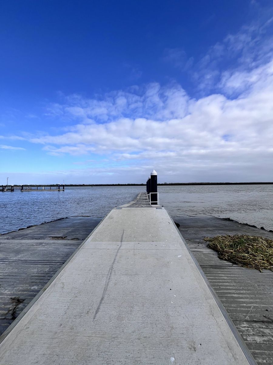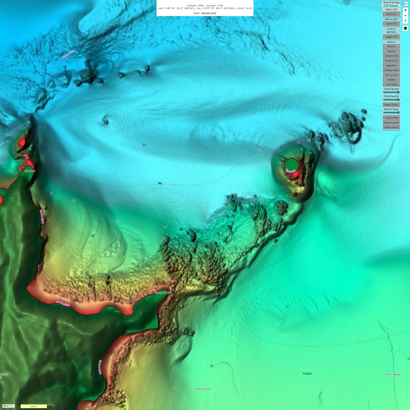
C-MAP has rolled out a chart update for Australia and New Zealand, broadening the detail and safety capabilities on offer to recreational boaters and anglers throughout the region. The update covers DISCOVER, REVEAL, and X Generation chart products, delivering improvements to shaded relief rendering and high-resolution bathymetry across selected coastal areas.
Jakob Svensson, C-MAP Product Manager, welcomed the release. "We're excited to bring these improvements to our Australian and New Zealand customers," he said. "Our team remains committed to delivering the most accurate, up-to-date data and continually refining our charts."
Australian coverage focuses on several key maritime zones. Shark Bay in Western Australia has been revised, alongside Endeavour Reef in Queensland and two Northern Territory locations, Howard Channel and Beagle Gulf. New Zealand users will find updates spread across both islands. On the North Island, Doubtless Bay, Auckland, the Bay of Plenty, and Poverty Bay have all received attention, while South Island improvements cover Trafalgar Point and Delaware Bay in the Nelson region, together with the Foveaux Strait in the country's far south.
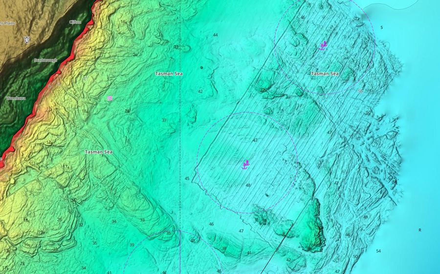
The update also incorporates official hydrographic office data to strengthen navigational accuracy across all technologies and SKUs within the APAC region.
Shaded Relief remains exclusive to C-MAP Reveal and Reveal X, supported across compatible chartplotters from Lowrance, Simrad, and B&G.
The update is open to new purchasers as well as existing customers who bought their chart within the past year and hold an active C-MAP subscription.