SouthPAN gives Port of Auckland pilots a second source of corrected position data if their preferred internet service drops out.
Port of Auckland’s pilots work in a harbour where the ships are getting bigger, but the room available to turn and berth them is not.
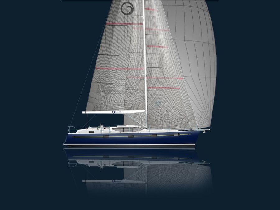
Around 2,500 pilotage movements take place each year. The vessels range from 40 metre superyachts to 300 metre container ships and cruise liners. Even larger ships are expected in future.
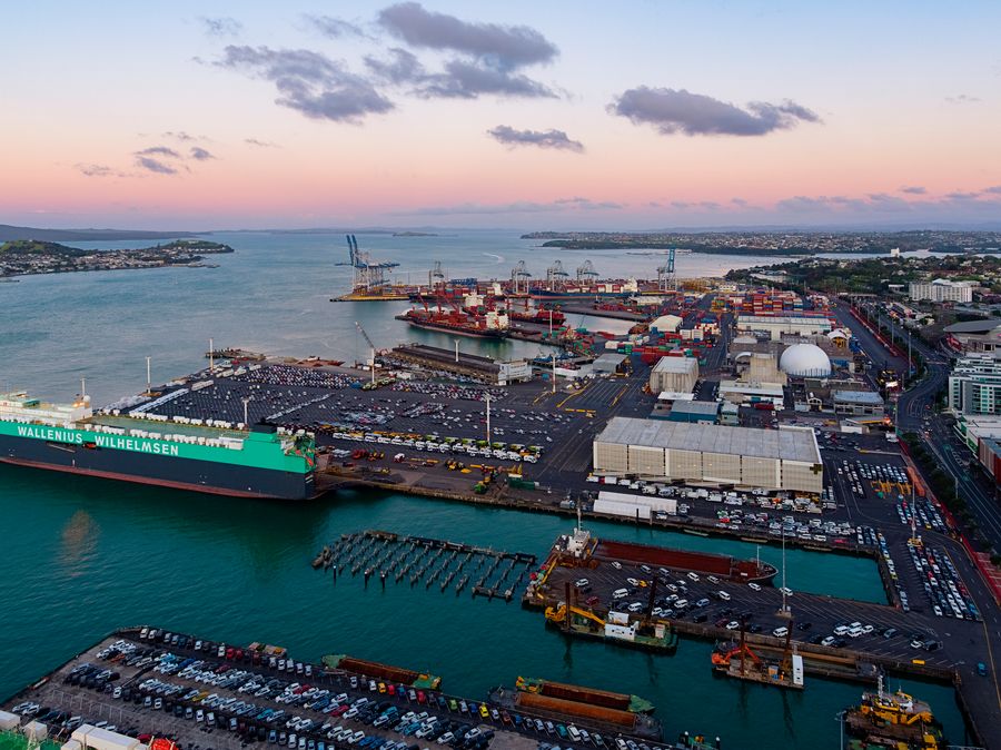
Auckland’s commercial berths lie roughly north to south. The wind and tide often push across them. A pilot bringing a large ship alongside must judge those forces while watching the available water depth and clearance from nearby structures.
The job depends on experience, communication and a clear understanding of how the ship is moving. Accurate position data forms one part of that picture.
Port of Auckland now uses SouthPAN as a backup source of corrected satellite positioning across its Portable Pilot Unit fleet. Its more accurate RTK service remains the first choice, but SouthPAN provides another option if the internet-delivered correction feed stops.
How SouthPAN works at Port of Auckland
The port normally uses LINZ PositioNZ RT as the correction source for its Portable Pilot Units.
PositioNZ RT uses real-time kinematic technology, usually called RTK. With the right equipment and a reliable connection, RTK can locate a receiver to within centimetres.
That accuracy suits close quarters pilotage, particularly during turns and berthing. The correction information reaches the pilot’s unit through an internet connection, however, which leaves the system dependent on mobile coverage and access to the data stream.
SouthPAN uses a different route. Its corrections come directly from a satellite, so the receiver does not need mobile data or a radio link to obtain them.
Ordinary satellite positioning can be wrong by five to 10 metres. SouthPAN can bring that down to less than one metre when used with compatible equipment.
It cannot match the centimetre-level performance of RTK. That is not why the port uses it. SouthPAN gives the pilot a corrected position if the preferred feed becomes unavailable.
Michael Appleyard, Head of Location Information at Toitū Te Whenua Land Information New Zealand, says ports can add SouthPAN without abandoning equipment that already works well.
“The lesson from Port of Auckland is that SouthPAN does not need to replace existing positioning systems to provide practical value,” he says.
“In critical environments, an independent satellite-delivered correction source can strengthen the overall positioning capability and confidence of pilots.”
The navigation unit pilots carry aboard
A maritime pilot joins each vessel with a Portable Pilot Unit, known as a PPU.
The unit has its own positioning receiver and electronic chart display. It shows information including the ship’s position, speed, heading, rate of turn and projected track.
Because the pilot carries the unit aboard, it provides a familiar display on every job. It also produces its position independently of the ship’s installed navigation equipment.
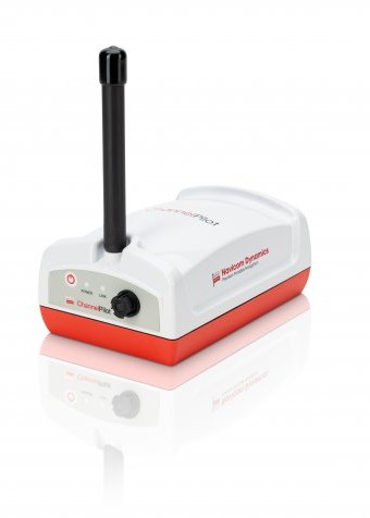
Port of Auckland has 14 Channel Pilot RTK Mark III units and two AD Navigation XR2 units. Pilots use a PPU on every pilotage movement, and all 16 units can receive SouthPAN corrections.
The PPU does not berth the ship. That remains the pilot’s job, working with the master, bridge team and tug crews.
A pilot must still read the conditions and understand how the vessel will respond. Wind pressure on a container ship or cruise liner can be considerable. Tide across a berth can also carry a ship sideways while it moves slowly ahead or astern.
Reliable position and movement data help the pilot see whether the ship is responding as expected. If the displayed position begins to wander, the predicted track and rate of movement become less useful.
“Our primary focus is vessel safety, protecting people, the environment and port infrastructure,” says Port of Auckland senior pilot John Barker.
“SouthPAN supports that by adding resilience to our positioning approach.”
Why a second correction source helps
The port’s two correction services reach the PPUs in different ways.
PositioNZ RT comes through the internet and provides the greatest accuracy. SouthPAN comes from a satellite and remains separate from the mobile data connection.
A loss of internet access could interrupt the RTK corrections without affecting SouthPAN. The PPU could then continue working with corrected position data, although at lower accuracy.
That arrangement gives pilots something useful to fall back on. It also reduces reliance on one communication path during a job where a few metres can make a big difference.
Other ports may be able to use SouthPAN in much the same way. The first step is checking whether their existing receivers support a Satellite Based Augmentation System, or SBAS.
The equipment vendor must also confirm that the unit can receive and use SouthPAN. Firmware and settings may need attention before the service becomes available.
Testing should take place aboard working vessels and within the harbour itself. Cranes, stacked containers, large ships, buildings and nearby land can interfere with satellite reception.
Pilots also need to know what their screen is showing. Procedures should explain how the unit identifies RTK, SouthPAN and ordinary satellite positioning. A change in correction source may also change the accuracy available.
Preparing for larger ships in Auckland
Port of Auckland is planning for ships up to 384 metres long, with displacement around 140,000 tonnes.
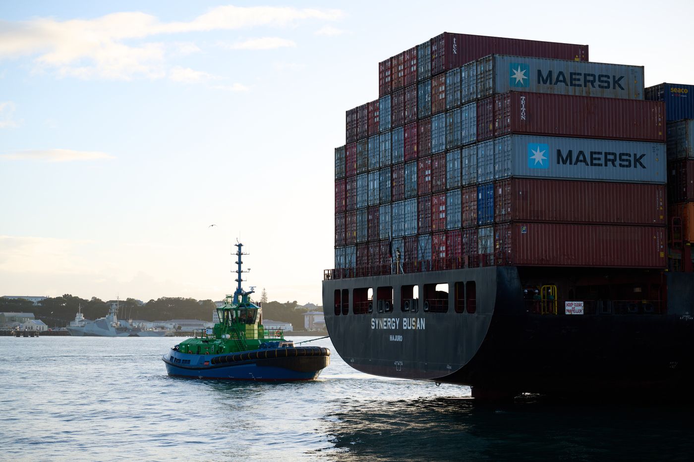
A ship of that size leaves little room for error in a confined harbour. Its momentum takes time to control, while wind on the hull and stacked containers can move it sideways. Tug crews and pilots need to anticipate that movement well before the ship reaches the berth.
The port is therefore keeping an eye on another SouthPAN service now being developed. Precise Point Positioning Via SouthPAN, usually shortened to PVS, is intended to provide decimetre-level accuracy and precision.
PVS is expected to be free, although the port could not adopt it immediately. Its Portable Pilot Unit suppliers would need to support the service, followed by testing in Auckland’s operating conditions.
It may eventually offer another high-accuracy choice alongside RTK. At present, SouthPAN has a simpler purpose at the port. It provides a satellite-delivered backup when the usual RTK correction feed is unavailable.
“We want to use the best positioning available to help ensure safety and efficiency,” Barker says.
“SouthPAN supports that by adding resilience to our positioning approach.”
The pilot still makes the decisions, and RTK remains the preferred system. SouthPAN gives that pilot another source of corrected position data when the usual connection is no longer there.